
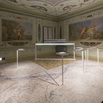
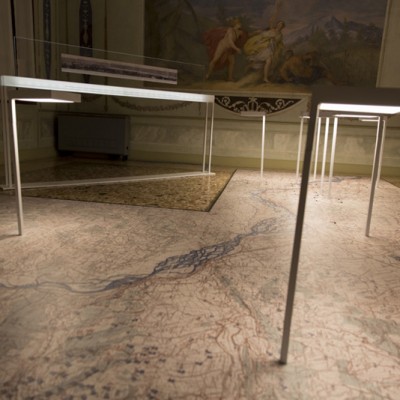
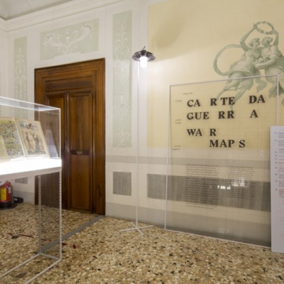
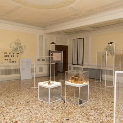
Third section. War maps
is the purpose of geography to make war?
representation of human beings
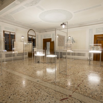
an exhibition of maps and art
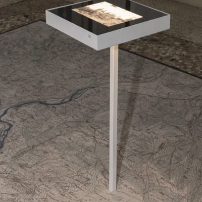
No other than the scene of the Piave war could be chosen to illustrate this section of the exhibition. “Il” Piave, expressed with the male gender, or “La” Piave, expressed as female? For centuries the female definite article identified the river and generations of map makers drew it in various scales, in full accordance with the common notion of the pertaining communities. In 1918 La Piave changed gender to offer greater virile resistance to the enemy and reassure the collective imagination of the young Kingdom of Italy after the defeat of Caporetto.
This section, in close relation to the previous one, shows how toponymy has always played an essential role in the destiny of places and how maps promptly record changes, alterations violent deletions.
War maps also contain other symbols, signs that modify the habitual values of places, assigning other ones based on the geography of the military. The maps are populated with batteries, stations, flying fields, tethered balloons, observatories, trenches, kilometres of barbed wire and the river, as a centuries-old liquid element of communication between the communities, it become an insurmountable border, a categorical imperative: “resist, resist, resist”.
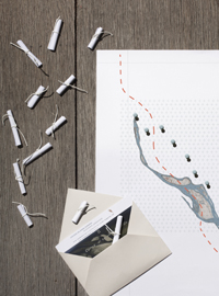
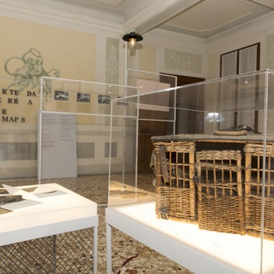
But the war maps also speak of other, very ancient geographical areas which survive even the modernity of the first great industrial war, those of the homing pigeons. The exhibition shows how the mobile pigeon coops were spread out over the Piave front and what solutions were created by the General Staff to invite the populations of occupied territories to provide vital information through these animals, uncapturable at high altitudes and perfectly trained to return to their place of birth.